Pioneering Since 2015
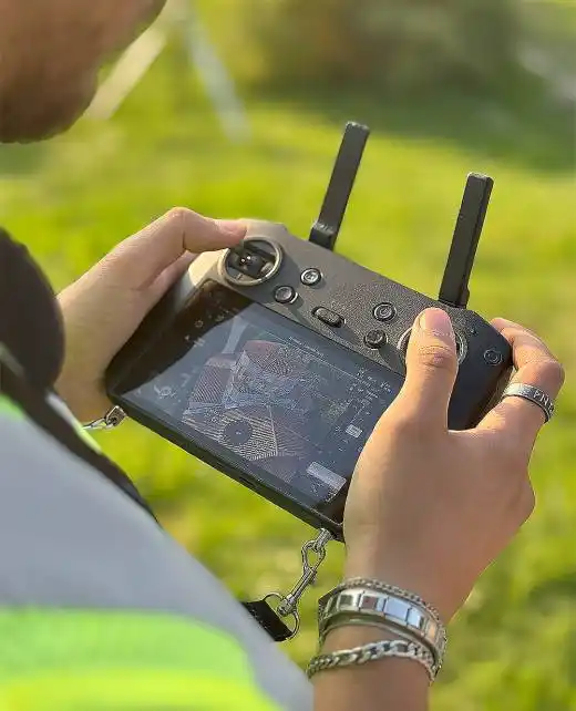
We deploy industrial-grade UAVs and terrestrial LiDAR scanners to capture millimetre-accurate point clouds of virtually any environment.
Our specialized team transforms raw, complex scan data into actionable BIM models, layered GIS data, intricate CAD drawings, and textured 3D meshes.
Every deliverable we hand over is built on absolute trust: heavily GNSS-referenced, cloud-processed for efficiency, and rigorously quality-checked against global engineering standards.
View Our Portfolio →Comprehensive Services
Crafting high-precision mesh and solid models directly from rich point cloud data.
Deploying UAV-based photogrammetry and LiDAR to map vast terrains with ease.
Engineering dynamic geographic information systems and immersive 3D cityscapes.
Conducting MAPEG-compliant topographic surveys and volumetric analytics for the mining sector.
Our Arsenal


Processing Stack


The Core Team